| June 2002: A climb of Mt.
Curtis-Gilbert |
| |
|
|
 |
|
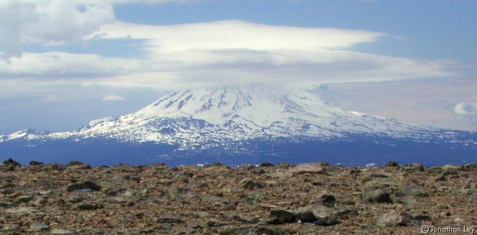
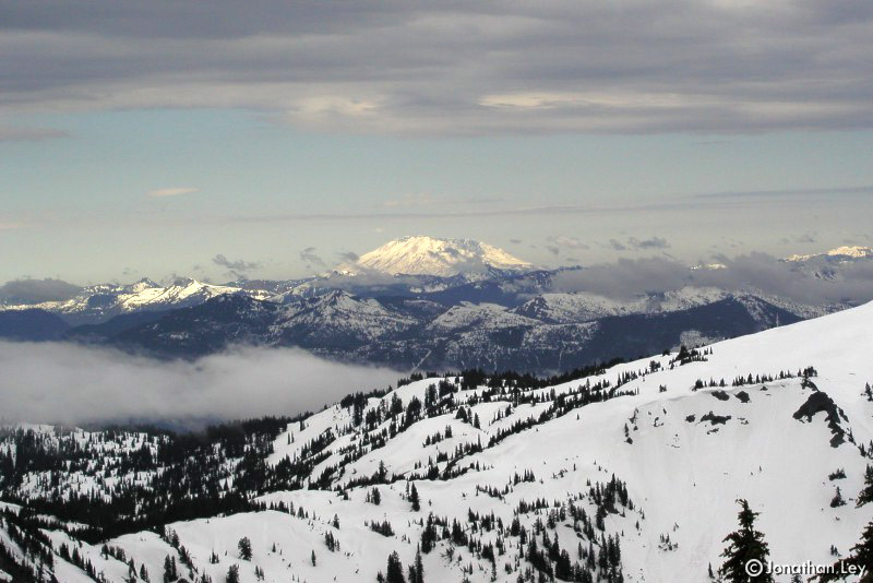
I had some really crazy weather during this
outing. Conditions included; drizzle, clouds, overcast, wind, sun, snow,
rain... even a solo bolt of lightning just as I got back to my car. This is a
photo of Mt. Adams during one of the "sunny" bits. |
| |
|
|
 |
|
. At 8,184ft, Mt. Curtis-Gilbert (called
Gilbert Peak on some maps), is the highest peak in the Goat Rocks - a cluster
of mountains between Mt. Rainier and Mt. Adams. |
| |
|
|
 |
|
I came in from the S. Fork Tieton River, past
Surprise Lake and up Klickitat Ridge. I then followed the ridge up to the peak.
|
| |
|
|
 |
|
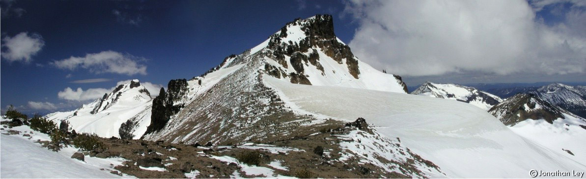
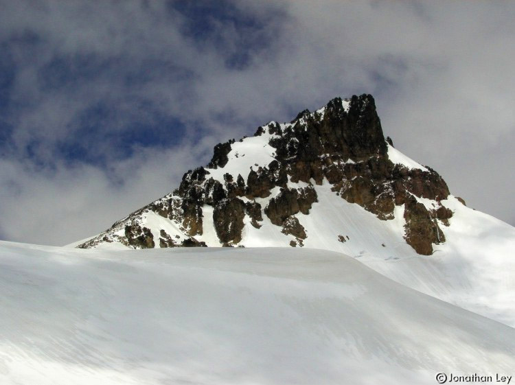
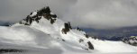
This photo is taken from Klickitat Ridge (as
are most of the photos in this group). The standard route to the top is along
the left "flank" of the peak as seen on this photo. There is a snow-slope just
on the other side of the steep rocks closer to the summit. |
| |
|
|
 |
|
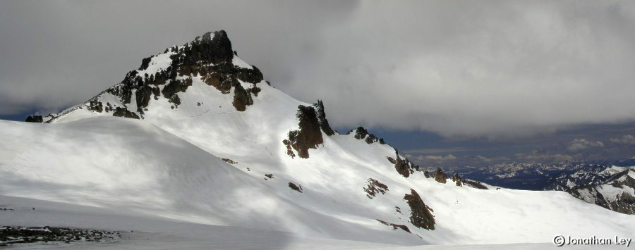
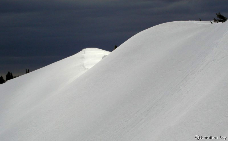
The snowy north slopes of Klickitat ridge
& the dark sky of eastern Washington. |
| |
|
|
 |
|
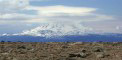
The sun hits Mt. St. Helens in the distance
(southwest). |
| |
|
|
 |
|
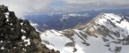
This is a view ~north from the
summit. |